 Vietnam's cruise ports, measured from the gangway

Ports
Six ports, and how far each one is from the brochure
The ports where ocean cruise ships call in Vietnam, side by side: where the berth is, how far the road runs to each main sight, whether you are likely to walk off or ride a tender, and what fits into an ordinary call.
The ports at a glance
| Port | Province or city (2026) | Name on the brochure | Main sights by road from the berth |
|---|---|---|---|
| Ha Long International Cruise Port, Bai Chay | Quang Ninh | Ha Long Bay, Hanoi | Bay boats from the terminal wharf; Tuan Chau 12 km; Hanoi 153 km |
| Chan May | Hue | Hue, Da Nang, Hoi An | Lang Co 9 km; Da Nang 45 km; Hue 62 km; Hoi An 69 km |
| Tien Sa | Da Nang | Da Nang, Hoi An, Hue | Dragon Bridge 12 km; Hoi An 41 km; Ba Na 42 km; Hue 108 km |
| Nha Trang (city port) | Khanh Hoa | Nha Trang | Beach front 5 km; Po Nagar towers 8 km |
| Cam Ranh (some larger ships) | Khanh Hoa | Nha Trang | Nha Trang centre about 60 km |
| Phu My | Ho Chi Minh City | Ho Chi Minh City, Saigon | Vung Tau 46 km; Ben Thanh Market 57 km; Cu Chi 97 km |
| An Thoi, or an anchorage off the island | An Giang (Phu Quoc special zone) | Phu Quoc | Sao Beach 8 km from An Thoi; Duong Dong 30 km; Grand World 48 km |
Distances are by road from the cruise berth, calculated by us from OpenStreetMap data with the OSRM engine on 26 October 2026. Province names follow the National Assembly's 2025 merger: Phu My is now inside Ho Chi Minh City, Hoi An inside Da Nang, Nha Trang's province absorbed Ninh Thuan, and Phu Quoc became a special zone of An Giang. Quang Ninh and Hue kept their boundaries.
Sources: OpenStreetMap road data routed with the OSRM engine (our calculation, free-flow times); OpenStreetMap Nominatim — coordinates and current ward and province names; Bao Lao Cai — National Assembly Resolution 202/2025/QH15 on merging provinces; Dien Dan Doanh Nghiep — Phu Quoc becomes a special zone of An Giang; Cruise Critic — Ho Chi Minh City cruise port guide (cruise review site) · last checked .
What fits in a nine-hour call
The table below assumes a call of nine hours from arrival to departure, 45 minutes to get off the ship and out of the port gate, and a return to the ship one hour before departure. That leaves about seven and a quarter hours for the road both ways and the sight itself. "Planning time" is our range for a coach or car in normal daytime traffic, built from the free-flow time plus allowance for traffic, the gate and the group, and cross-checked against times published by cruise lines and port guides where we found them.
| Plan | Planning time each way | Time left at the sight | Verdict |
|---|---|---|---|
| Ha Long: bay boat from the terminal wharf | None by road | The whole window | Fits |
| Ha Long: Hanoi | 2 h 30 to 3 h | About 1 h 15 to 2 h 15 | Does not fit well |
| Chan May: Hue citadel and one tomb | 1 h 20 to 1 h 45 | About 3 h 45 to 4 h 35 | Fits |
| Chan May: Hoi An old town | 1 h 40 to 2 h | About 3 h 15 to 3 h 55 | Fits, with nothing added |
| Chan May: Hue and Hoi An together | More than 4 h of road in total | Under 1 h 30 at each | Does not fit well |
| Tien Sa: Hoi An | 45 min to 1 h | About 5 h 15 to 5 h 45 | Fits |
| Tien Sa: Hue | 2 h to 2 h 30 | About 2 h 15 to 3 h 15 | Tight |
| Nha Trang city port: the city | 15 to 25 min | About 6 h 25 or more | Fits |
| Cam Ranh: Nha Trang city | 1 h 15 to 1 h 30 | About 4 h 15 to 4 h 45 | Fits |
| Phu My: central Ho Chi Minh City | 1 h 30 to 2 h 30 | About 2 h 15 to 4 h 15 | Tight |
| Phu My: Cu Chi tunnels and the city | More than 5 h of road in total | Under 1 h at each | Does not fit well |
| Phu Quoc by tender: Sao Beach | 15 to 25 min, plus the tender | About 5 h or more | Fits |
A verdict of "fits" means the arithmetic works on an ordinary day. It does not cover a late arrival, a slow tender queue, a public holiday or a storm. The shore-time page shows how to redo the sum with your own ship's times.
Sources: OpenStreetMap road data routed with the OSRM engine (our calculation, free-flow times); Holland America Line — Phu My, Ho Chi Minh City on your own (cruise line page); Cruise Critic — Ho Chi Minh City cruise port guide (cruise review site); What's in Port — Chan May port guide (independent port guide); Online transfer marketplace — routes from Chan May (commercial listing) · last checked .
How the ports line up on an itinerary
Ships sailing along the coast meet the ports in a fixed order. From the north: Ha Long on the Gulf of Tonkin, then a long stretch south to the central coast, where Chan May and Tien Sa sit either side of the Hai Van Pass, about 45 km apart by road. Further south comes Nha Trang, with Cam Ranh just below it, then Phu My near the mouth of the rivers that lead to Ho Chi Minh City, and finally Phu Quoc in the Gulf of Thailand, close to the Cambodian coast.
Few ships call at all six. A common pattern is two or three Vietnamese ports inside a longer voyage between Hong Kong or Japan and Singapore, or a Singapore round trip that mixes Vietnam with Thailand, Malaysia and Cambodia. The season page describes the patterns we found in published itineraries and when in the year they run.
Chan May and Tien Sa are sometimes interchangeable. Both serve the same area: Da Nang, Hoi An and Hue. Which one a ship uses depends on its size and the berth available. If your ship goes to Tien Sa, Hoi An is easy and Hue is a long day; if it goes to Chan May, Hue is the natural choice and Hoi An is the long one.
Sources: Cruise Critic — Ho Chi Minh City cruise port guide (cruise review site) · last checked .
Berth, anchorage and what the port gate is like
Where a ship can berth, passengers usually walk down the gangway into a terminal or onto the quay. Ha Long's international cruise port has four wharves, the two longest 488 metres each, and a three-storey terminal for up to 2,000 people. Chan May's cruise berth is a 480-metre wharf in a working cargo port, with no restaurants, ATMs or exchange inside the port area, according to a local transfer company's description. Phu My is a commercial port with no passenger facilities and nothing within walking distance, according to a cruise review site.
When a ship anchors, tender boats carry passengers to a landing stage. That adds a queue in each direction, and in a swell the tenders may stop running altogether. The missed ports page covers what happens then. Each port page says what we know about tendering there and where we could not confirm it.
Sources: Viet Nam News — Sun Group opens new cruise port (3 May 2019); Vietnam Drive — Chan May cruise port (transfer company page); Cruise Critic — Ho Chi Minh City cruise port guide (cruise review site) · last checked .
What these pages do not cover
The port pages are about the shore day: distance, time, papers and weather. They do not list or rate tour companies, restaurants or shops, and they do not compare boats for overnight trips on Ha Long Bay. Ticket prices appear only where we found a dated source, and even then they are a guide; pay what the counter asks on the day.
Common questions
Questions readers ask
Which port is closest to Hoi An?
Tien Sa in Da Nang, about 41 km by road. From Chan May it is about 69 to 72 km and crosses or tunnels under the Hai Van Pass.
Can I see Hanoi from a Ha Long call?
You can reach it, but with more than 150 km of road each way the time left in the city on an ordinary call is short. The Ha Long page shows the arithmetic and the alternatives close to the port.
Why do some ships berth in the city in Ho Chi Minh City and others at Phu My?
Midsize and smaller ships can sail up the Saigon River and tie up close to the centre. Larger ships stop at Phu My, which is a long road transfer from the city.
Are the drive times on this site reliable?
The distances are road distances from map data. The free-flow times are a lower bound. Use the planning ranges, and add more on public holidays, in heavy rain and in the late afternoon rush.
Related
Read next
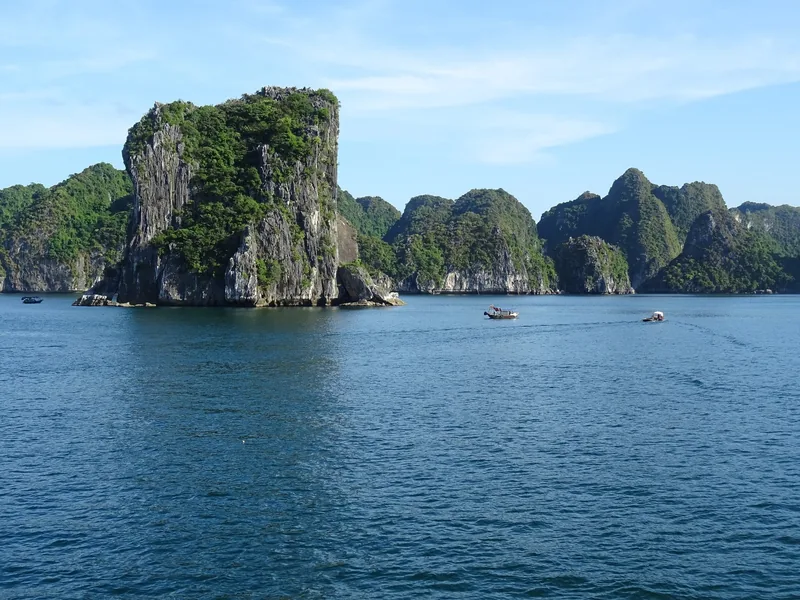
Ports · Quang Ninh
Ha Long (Cai Lan)
Ha Long cruise port: berth facts, road distances, bay boats from the terminal and the Hanoi arithmetic.
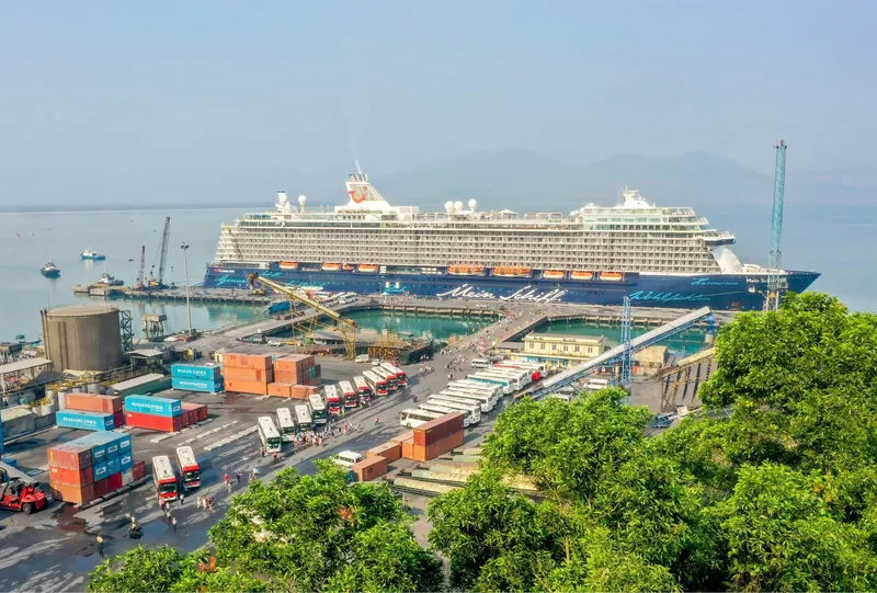
Ports · Hue
Chan May
Chan May port: berth facts, distances to Hue, Da Nang and Hoi An, the Hai Van Pass and the one-direction rule.
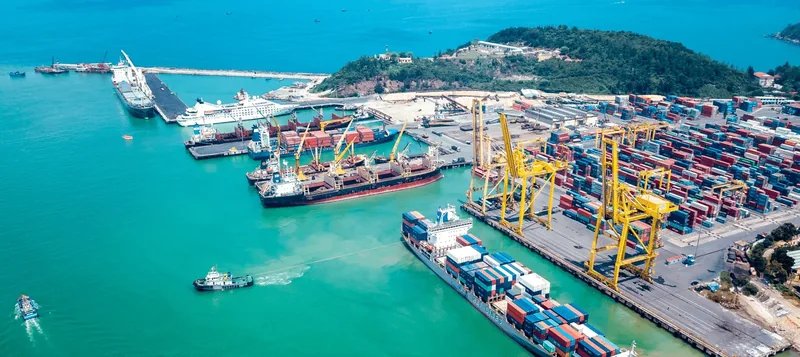
Ports · Da Nang
Tien Sa (Da Nang)
Tien Sa port in Da Nang: road distances to the city, Son Tra, Marble Mountains, Hoi An, Ba Na and Hue.
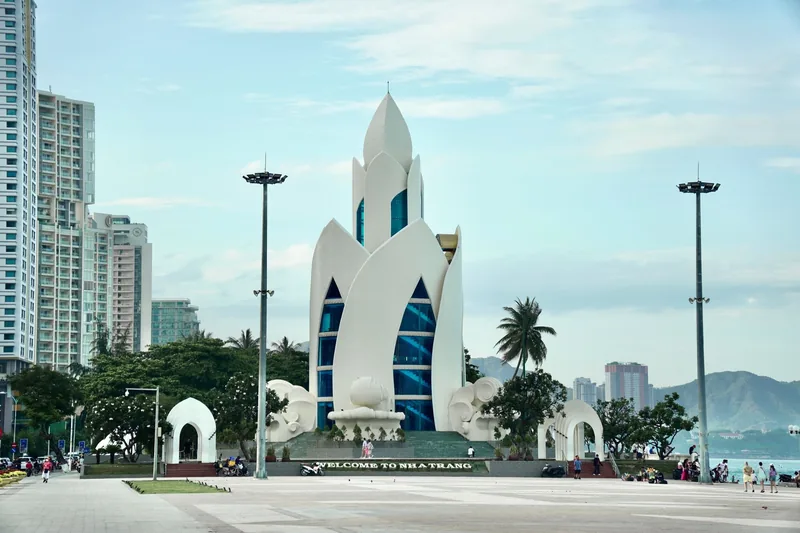
Ports · Khanh Hoa
Nha Trang
Nha Trang cruise calls: city port or Cam Ranh, road distances to the sights, the rainy months and what fits.
Ports · Ho Chi Minh City
Phu My
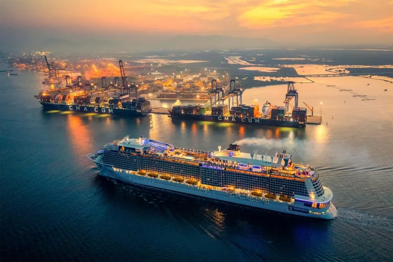
Phu My port: no facilities at the berth, the road to Ho Chi Minh City, Vung Tau and Cu Chi, and what fits.

Ports · An Giang
Phu Quoc
Phu Quoc cruise calls: tender or berth, distances from An Thoi to Sao Beach, Duong Dong and Grand World.

Start planning
Send a correction or a question
Tell us which page you mean, what you found instead and when. A link to the source, or the details of your own call, helps us check it.