 Vietnam's cruise ports, measured from the gangway
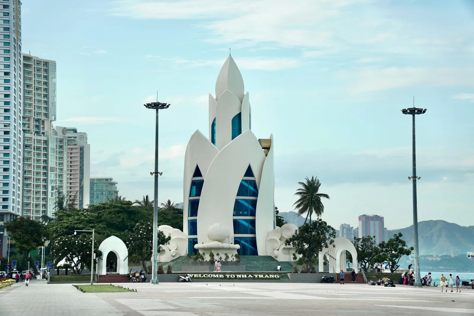
Ports · Khanh Hoa
Nha Trang: a port in the city, or an hour away at Cam Ranh
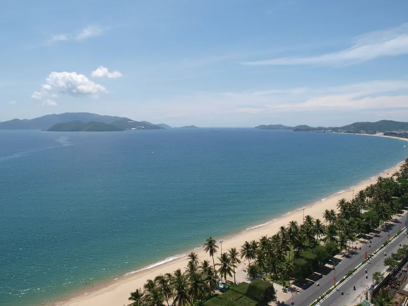
Nha Trang is the easiest Vietnamese call to understand if your ship uses the city port: the beach road, the Cham towers and the pagoda are all within ten kilometres. Some itineraries list Cam Ranh instead, and that changes the day.
At a glance
- City port to beach road
- About 5 km
- Po Nagar towers
- About 8 km
- Cam Ranh port to the city
- About 60 km
- Rainy months
- September to December
- Typical call
- 8 to 10 hours
- Province
- Khanh Hoa
Sources: OpenStreetMap road data routed with the OSRM engine (our calculation, free-flow times); Vietnam National Authority of Tourism — weather and climate; Bao Lao Cai — National Assembly Resolution 202/2025/QH15 on merging provinces · last checked .
Which port your ship actually uses
Two port names appear on itineraries for this stretch of coast. "Nha Trang" means the city port at the southern end of the bay, a few kilometres from the seafront hotels. "Cam Ranh" means the international port in the Bac Cam Ranh ward, about 60 km further south by road. A cruise review site's listings for 2026 to 2028 include several Singapore round trips that call at Cam Ranh rather than Nha Trang.
Check the name on your own itinerary, not the brochure headline. From the city port, Nha Trang is a short taxi ride and you have most of the day. From Cam Ranh, the city costs two and a half to three hours of road in total, and the beaches north of Cam Ranh become a reasonable alternative.
At either name, a ship may tie up alongside or anchor in the bay and run tenders; the line's port notes for your date say which. Since the 2025 provincial merger, Khanh Hoa includes the former Ninh Thuan province, so you may see the province described as larger than older guides suggest. Nha Trang's seaport border gate is on Vietnam's list of e-visa entry points.
Sources: Cruise Critic — Ho Chi Minh City cruise port guide (cruise review site); OpenStreetMap Nominatim — coordinates and current ward and province names; OpenStreetMap road data routed with the OSRM engine (our calculation, free-flow times); Bao Lao Cai — National Assembly Resolution 202/2025/QH15 on merging provinces; Government of Vietnam news portal — Resolution 389/NQ-CP adds e-visa ports · last checked .
Distances from the berth
| From | To | Road distance | Free-flow drive | Planning time each way |
|---|---|---|---|---|
| Nha Trang city port | Beach road (Tran Phu) centre | 5 km | 7 min | 15 to 25 min |
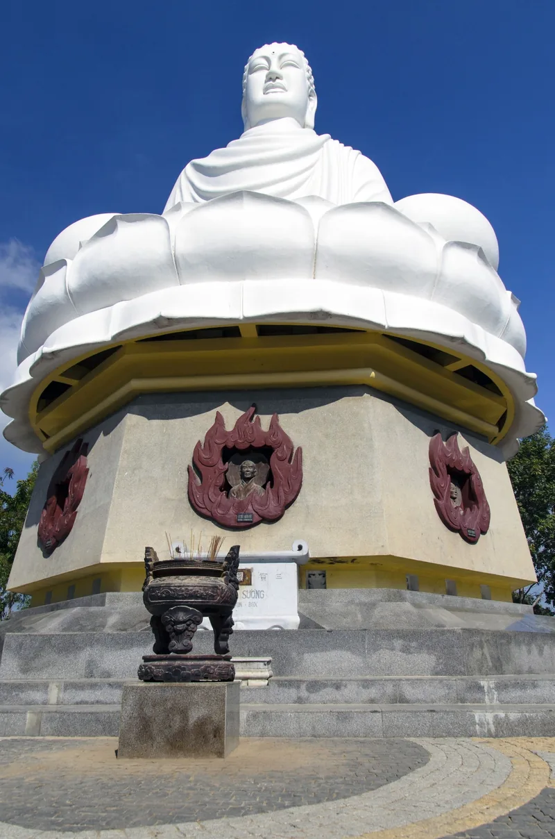
| Nha Trang city port | Long Son pagoda | 7 km | 9 min | 15 to 25 min |
| Nha Trang city port | Po Nagar Cham towers | 8 km | 11 min | 20 to 30 min |
| Nha Trang city port | Cam Ranh airport | 41 km | 49 min | 50 min to 1 h 10 |
| Cam Ranh port | Nha Trang beach road | 60 km | 75 min | 1 h 15 to 1 h 30 |
| Cam Ranh port | Po Nagar Cham towers | 63 km | 78 min | 1 h 20 to 1 h 35 |
The city-port figures are measured from a reference point at the port area at the southern end of the bay; your berth may add a kilometre. Island boat trips and the cable car across to Hon Tre island leave from the southern part of the bay; ask at the gangway how far your pier is from the departure point.
Sources: OpenStreetMap road data routed with the OSRM engine (our calculation, free-flow times); OpenStreetMap Nominatim — coordinates and current ward and province names · last checked .
What fits in a typical call
Take nine hours in port, 45 minutes to get off and out, and a return one hour before departure: about seven and a quarter hours.
- From the city port: the city. Po Nagar, Long Son pagoda, the market area and the beach road fit together with time for lunch and a swim, because no leg is longer than half an hour.
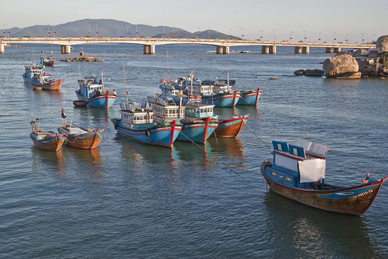
- From the city port: the islands. A boat trip to the bay islands is a half day or more. It fits, but sea conditions decide whether it runs.
- From Cam Ranh: the city. About four and a quarter to four and three-quarter hours in Nha Trang. Enough for the towers, the pagoda and the seafront; not for an island trip as well.
- From Cam Ranh: the coast nearby. The beaches between Cam Ranh and Nha Trang are closer than the city, which leaves more margin on a short call.
When to go
Vietnam's tourism authority describes Nha Trang as getting more than 300 sunny days a year and having the shortest rainy season in the country, with monsoon rains mainly from September to December. January to August is hot, sunny and clear, with the hottest days in July and August. Tropical cyclones affect the whole eastern coast between May and November, according to the UK Foreign Office.
3 = dry and sunny; 1 = monsoon rains more likely. From the tourism authority's description. Rough seas in the rainy months affect island boats and tenders before they affect the city.
Sources: Vietnam National Authority of Tourism — weather and climate; UK Foreign Office — Vietnam safety and security · last checked .
Getting around and rough costs
Taxis and ride-hailing cars work in the city. The UK Foreign Office recommends metered taxis from larger firms or the Grab and XanhSM apps, checking that the car and driver match the app. Within the city the fares are short; from Cam Ranh, a car for the day is the simplest way to control the return time.
| Item | Rough range | Note |
|---|---|---|
| Taxi from the city port to the beach road | A short city fare | About 5 km |
| Car from Cam Ranh to Nha Trang and back | A half-day to full-day hire | About 120 km round trip |
| Po Nagar and pagoda entry | Small entry or donation | Dress code applies at religious sites |
| Island boat trip or cable car | The largest cost of the day | Check the operator's current price |
We could not find dated official prices for these items on the day we checked, so we give ranges only. Check before you go.
Sources: UK Foreign Office — Vietnam safety and security; OpenStreetMap road data routed with the OSRM engine (our calculation, free-flow times) · last checked .
Pictures



Who should skip the long trips, and when not to go far
- Passengers on a Cam Ranh call who want an island trip as well as the city. The road leaves room for one.
- Calls between October and December with rough seas forecast. Island boats and tenders are the first to stop.
- Visitors to Po Nagar or Long Son in beachwear. Cover shoulders and knees, or expect to be turned away.
- Anyone who assumes "Nha Trang" on a brochure means the city port. Read the port name on the itinerary.
Common questions
Questions readers ask
Is Cam Ranh the same as Nha Trang for a cruise ship?
No. Cam Ranh is about 60 km south of Nha Trang by road. Some itineraries use Cam Ranh, and from there the city is a transfer of well over an hour each way.
Can I walk from the Nha Trang port to the beach?
The beach road is about 5 km from the port area, which is a long walk in the heat. A taxi or app car takes about fifteen to twenty-five minutes.
When is the rainy season in Nha Trang?
Mainly September to December, according to the tourism authority. The rest of the year is mostly dry and sunny.
Do I need to cover up at Po Nagar?
Yes, as at most religious sites in Vietnam. Bring something that covers shoulders and knees.
Related
Read next

Ports
Ports
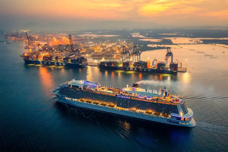
All six Vietnamese cruise ports in one table: road distances, planning times and what fits in a call.
Ports · Ho Chi Minh City
Phu My
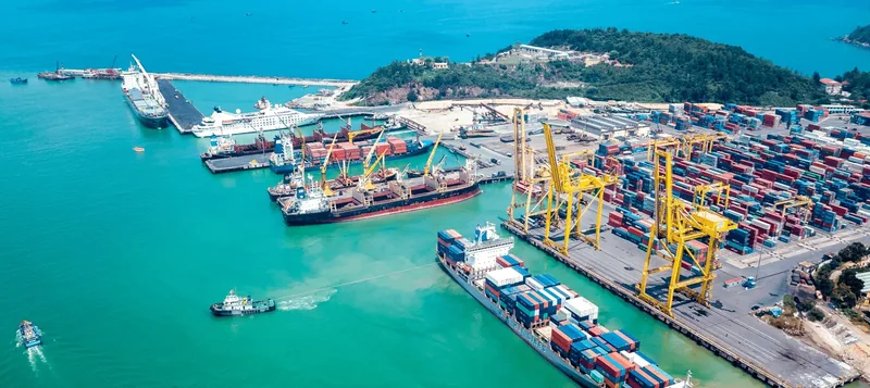
Phu My port: no facilities at the berth, the road to Ho Chi Minh City, Vung Tau and Cu Chi, and what fits.
Ports · Da Nang
Tien Sa (Da Nang)
Tien Sa port in Da Nang: road distances to the city, Son Tra, Marble Mountains, Hoi An, Ba Na and Hue.

Understand the shore day
Shore time
How to turn hours in port into real time at a sight, with worked examples for every Vietnamese port.
Understand the cruise
Cruise season
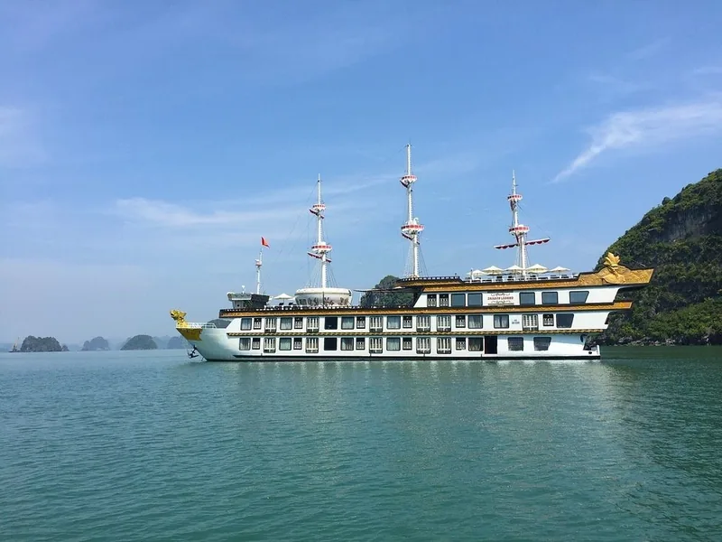
When ocean cruise ships call in Vietnam, the itinerary patterns, and the storm months that change calls.

Understand the cruise
Missed ports
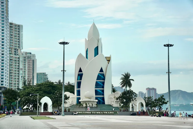
Why cruise calls in Vietnam are cancelled or shortened, how tendering works, and what your contract says.
Start planning
Send a correction or a question
Tell us which page you mean, what you found instead and when. A link to the source, or the details of your own call, helps us check it.